Slide 1

Map accurate, everywhere

Robots could provide safe surveys & mappings in all kind of conditions, even in harsh and challenging environments

Surveying & Mapping with UNITREE

Choose To Assemble High Precision Lidar

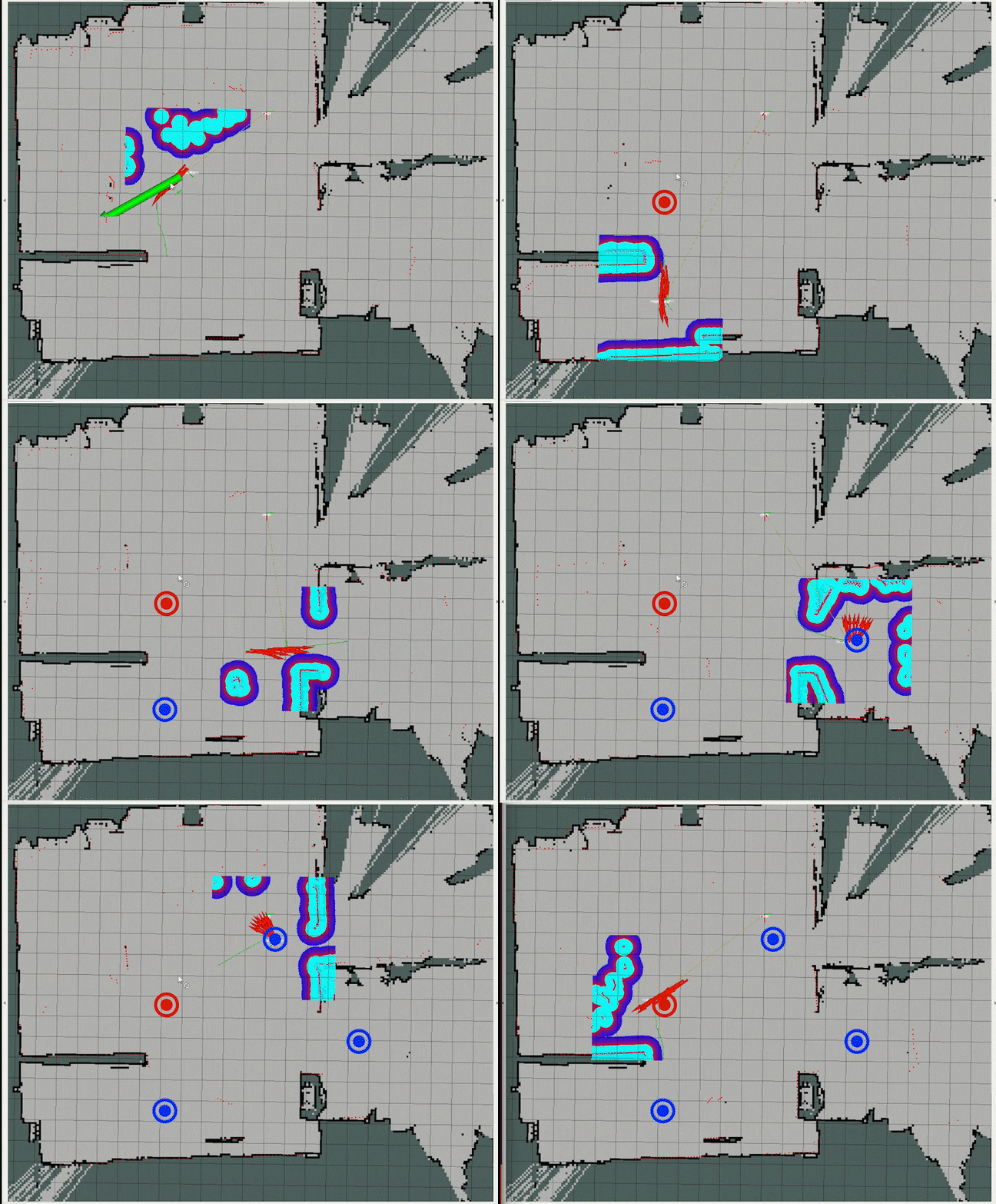
Support map building, autonomous positioning, navigation planning and dynamic obstacle avoidance

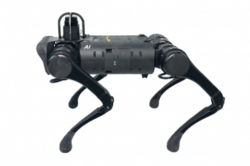
Unitree_Lidar1

It can be equipped with GNSS, manipulator, lidar and other instrument detection equipment to complete a series of work.

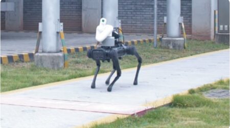
Unitree_Lidar2

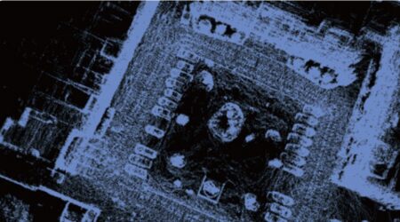
Equipped with 3D imager, it can quickly build high-definition plan and 3D model map of the target area to provide information support for on-site command.

Unitree Lidar navigation + vslam

Costumer use case

Surveying and Mapping with AGILE·X

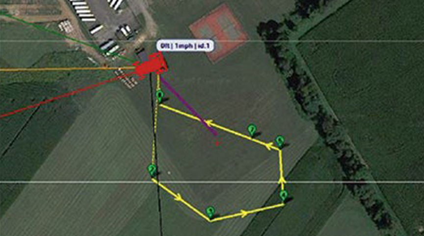
Agilex Autopilot Kit is a hardware and software solution that allows users to navigate by selecting GPS Waypoints, while also avoiding obstacles. It enables autonomous navigation and positioning, accurate route planning without the need for preloaded maps. Autopilot Kit is compatible with multiple high-performance AgileX chassis that provides out standing off-road and climbing performance in scenarios such as agriculture, outdoor survey, construction and environmental monitoring, and perimeter security.

High-precision 3D Mapping

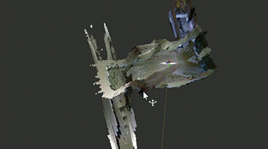
SLAM can leverage sensors like lidars and depth cameras to construct a map of its environment while accurately tracking its own location. SLAM lets you build a 3D map and display models of unknown enviornments for path planning and obstacle avoidance.

GPS Waypoint Navigation Without Preloaded Map

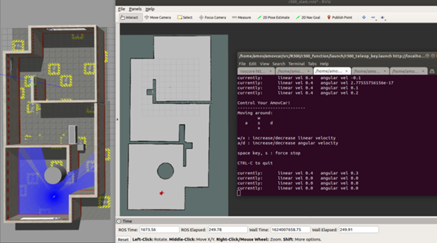
Development tools include viz, Gazebo and Nomachine. Communication (Ros) nodes are provided for mapping and navigation.

High-precision 3D Mapping

Autopilot simulation system is based on ROS and Gazebo simulation system, providing unmanned vehicle body model, sensor simulation such as 2D lidar, 3D lidar and depth camera. Currently, it includes the simulation of navigation function, RtabMap 3D mapping function, OctoMap 3D mapping function, SLAM mapping function.

SCOUT 2.0 3D map SLAM system

Autoware mapping with HUNTER 2.0

Product Enquiry